
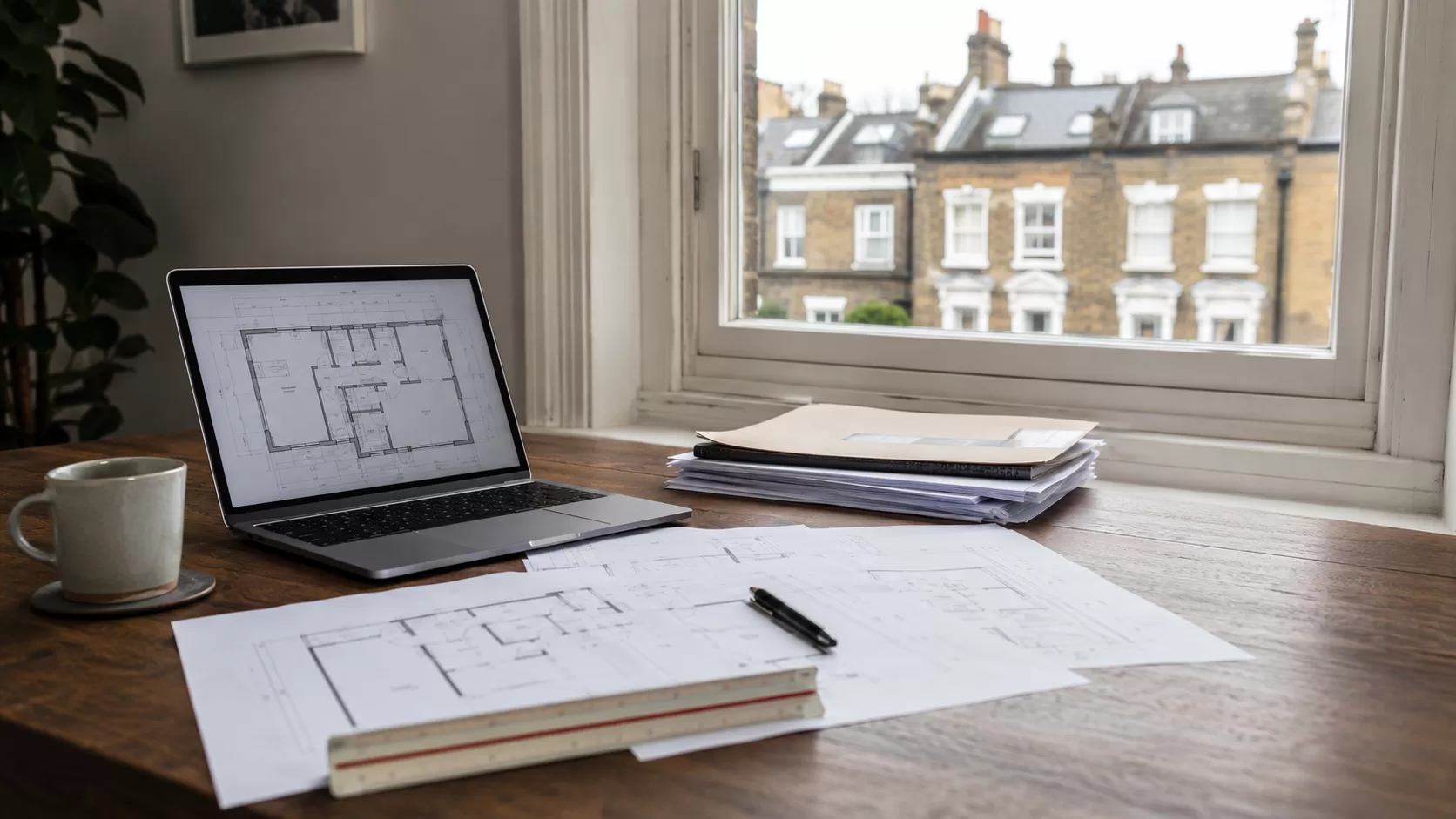
Yes, a lease plan can often be prepared from existing drawings without a site visit. If you already have reliable architect’s drawings, scaled floor plans, an existing lease plan, as-built drawings or other accurate property information, it may be possible to prepare the plan entirely remotely.
This can avoid the need to arrange access to the property, wait for a survey appointment or coordinate with tenants, managing agents or occupiers. It can also provide a faster and more cost-effective route where the property has already been measured and documented accurately.
The important question is not simply whether a drawing exists. It is whether the drawing contains enough reliable information for a clear, accurate and Land Registry compliant plan to be prepared.
Not sure whether your drawings are suitable? Send us what you have, together with the property address and any request from your solicitor or conveyancer. We can review the information and confirm whether remote preparation is appropriate before work begins.
What is a lease plan prepared from existing drawings?
A lease plan prepared from existing drawings is a professionally produced plan based on property information that has already been created.
Instead of visiting the property to measure every room or boundary, we review the drawings you supply, check whether they are suitable for the legal purpose of the plan, and adapt or redraw them into the required format.
The finished plan may need to show more than the original drawing. Depending on the instruction, it might include:
- the extent of the flat, house or commercial unit
- the relevant floor level
- gardens, terraces or balconies
- parking spaces or garages
- storage areas, bin stores or cycle stores
- loft space, roof space or basement areas
- shared entrances, corridors or staircases
- access routes or rights of way
- areas included in, or excluded from, the lease
- a location plan based on appropriate Ordnance Survey mapping
The completed drawing must also be consistent with the wording of the lease, transfer, deed of variation or other legal document it accompanies.
Which existing drawings can be used?
Several different kinds of drawing may be useful. Some provide a strong basis for remote preparation, while others may need to be supported by dimensions, photographs or additional documents.
Architect’s drawings
Recent architect-prepared drawings are often an excellent starting point, particularly when they are clearly scaled and show the property as it is currently built.
However, an architect’s drawing is not automatically a finished Land Registry plan. Architectural plans are normally prepared for design, construction, planning or building-control purposes. They may not show the legal extent of the property, the areas included in the lease or the particular colouring and annotations required by the legal documents.
They can therefore be an excellent source drawing while still requiring professional adaptation.
As-built drawings
As-built drawings can be especially useful because they are intended to record the completed layout rather than an earlier design proposal.
They may be suitable for flats, new-build developments, converted buildings, commercial units and recently completed building works. We will still need to check that they reflect the current property and contain enough information for the required plan.
Existing lease plans
An existing lease plan may provide useful information about the property’s layout, floor level, boundaries and associated areas.
It may be possible to use or redraw it where the physical property remains unchanged but a clearer, updated or differently presented plan is required.
Older plans need to be considered carefully. Repeated photocopying, scanning, resizing or printing can distort a plan, reduce its clarity or make its stated scale unreliable. An old plan may also no longer reflect extensions, loft conversions, terraces, altered boundaries or changes to shared areas.
Planning drawings
Planning drawings can help establish the layout of a property or show proposed alterations. The key question is whether the works shown were actually completed and whether the completed property matches the approved design.
A proposed drawing should not automatically be treated as an accurate record of the finished building. Where the current arrangement is uncertain, further confirmation or a site visit may be needed.
CAD or DWG files
Original CAD or DWG files can provide detailed, accurately scaled information and may make remote preparation particularly efficient.
PDF exports are also often suitable, especially where the scale, dimensions and property layout are clearly shown.
Estate-agent floor plans
An estate-agent floor plan can be useful as supporting information, but it may not be sufficient on its own.
Marketing floor plans are generally created to help prospective buyers understand the approximate arrangement of a property. They may be marked as approximate, may not be drawn to a dependable scale and may omit legal or external areas such as gardens, parking spaces, storage areas, shared entrances or access routes.
Where an estate-agent plan is supported by reliable measurements, photographs, an existing lease plan, architect’s drawings or other documentation, it may still help us understand the property and assess whether remote preparation is possible.
Measured sketches, photographs and supporting information
Clear measurements, labelled photographs and carefully prepared sketches can sometimes help fill gaps in an existing drawing.
A rough hand-drawn sketch would not normally be sufficient as the finished Land Registry plan, but it may help explain a particular alteration, boundary, storage area, terrace or access arrangement when used alongside more reliable plans.
What makes an existing drawing suitable?
A useful source drawing should normally allow us to understand both the physical layout of the property and the precise area that the legal document needs to describe.
We will usually consider:
- whether the drawing has a stated or verifiable scale
- whether important dimensions are provided
- whether the current property matches the drawing
- whether the relevant floor or floors are clearly identified
- whether gardens, parking, storage and other associated areas are shown
- whether the drawing can be related to the building and its surroundings
- whether the required boundaries and access arrangements are unambiguous
- whether different drawings agree with each other
- whether the drawing is consistent with the lease, deed or solicitor’s instructions
A visually attractive drawing is not necessarily a suitable legal plan. Clarity, accuracy and consistency matter more than presentation alone.
Why does an existing drawing need to be adapted?
HM Land Registry needs to be able to identify the relevant land or property clearly and relate it to the Ordnance Survey map.
An existing architectural or marketing drawing may show the internal layout very well without showing the legal extent of the lease, the wider location, the appropriate edging or the areas referred to in the written document.
Preparing the compliant plan may therefore involve:
- reviewing and checking the supplied drawing
- redrawing or cleaning up the floor plan
- confirming the appropriate scale
- adding a bar scale where appropriate
- adding a north point
- showing the building in its wider location
- adding an Ordnance Survey-based location plan
- edging, colouring or hatching the relevant areas clearly
- identifying different floor levels
- labelling gardens, parking spaces, stores and shared areas
- showing access routes or other relevant rights
- checking the plan against the accompanying legal wording
You can read the official HM Land Registry guidance for preparing plans for more information about the principles applied to plans submitted with registration applications.
When can a site visit usually be avoided?
Remote preparation often works well where the property is straightforward and the existing information is clear, recent and reliable.
Examples might include:
- a flat with recent scaled architect’s drawings
- a new-build apartment with an accurate drawing pack
- a converted property with reliable as-built plans
- a commercial unit with a clear and dimensioned floor plan
- a development containing several similar units covered by a consistent set of drawings
- a transfer or lease where the relevant area is already clearly documented
- a replacement plan where the layout has not changed but the existing plan is unclear or unsuitable
Remote preparation can be particularly convenient where the property is occupied, tenanted, located some distance away or difficult to access during a live transaction.
Because the work is completed from supplied documents, the property does not need to be close to our London survey area. For appropriate HM Land Registry matters, we can work remotely with clients and properties throughout England and Wales.
Read more about our dedicated plans from existing drawings service.
When might a measured site visit still be needed?
A measured survey is sometimes the safer and more reliable option.
We may recommend a visit where:
- there are no existing drawings
- the available drawing is not to scale
- important measurements are missing
- the property has been altered since the drawing was prepared
- different drawings contradict each other
- the drawing is blurred, heavily copied or distorted
- the property has an unusual or complicated layout
- a garden, parking space, roof terrace or external boundary is unclear
- shared areas or access routes cannot be identified confidently
- the lease wording does not appear to match the drawing
- the current physical arrangement cannot be confirmed
Recommending a visit does not mean that the information you supplied was unhelpful. Existing drawings can still reduce the amount of investigation required and help us understand the property before attending.
What should I send for a remote lease plan?
You do not need to assemble a perfect technical package before contacting us. Send what you already have and explain briefly what is happening.
The most useful information usually includes:
- the full property address and postcode
- the request from your solicitor or conveyancer
- any existing lease plan or title plan
- architect’s drawings, planning drawings or as-built plans
- PDF, JPG, CAD or DWG files, where available
- the relevant lease, transfer or deed wording
- clear photographs of any areas that need explanation
- dimensions that do not appear on the drawings
- a description of anything that has changed
- details of any transaction deadline or urgency
If your solicitor has sent an email explaining the requirement, you can simply forward it. You do not need to translate the request into technical language yourself.
How does the remote process work?
- Send the available information. Email the property address, drawings and any instructions or legal wording you have received.
- We assess the drawings. We check whether they contain enough reliable information for remote preparation.
- We confirm the route and quotation. You will be told whether a site visit can be avoided, what the work will involve and how much it will cost.
- The plan is prepared. The supplied information is adapted or redrawn into a clear Land Registry compliant format.
- A draft is issued for checking. You, your solicitor or your conveyancer can confirm that the plan reflects the instruction correctly.
- The final PDF is supplied. Once any agreed amendments have been made, the completed scaled plan is sent by email.
Where helpful, we can also liaise with your solicitor or conveyancer to clarify what the plan needs to show.
How much does a remote lease plan cost?
Remote lease plans currently start from £125 plus VAT for straightforward instructions using suitable existing drawings.
The final quotation may depend on the size and complexity of the property, the number of floors, the quality of the supplied information, the type of legal plan required and the amount of redrawing or clarification involved.
Any quotation will be provided clearly before work begins. You can see the current guide prices on our lease plan prices page.
How quickly can a plan be prepared?
Once suitable drawings and clear instructions have been received, standard remote work can often be completed within 24–48 hours.
More complex matters may take longer, particularly where information needs to be clarified with the client, freeholder, solicitor or conveyancer.
If the plan is connected to an exchange, completion, registration or other transaction deadline, mention this when you get in touch. We will confirm a realistic timescale before proceeding.
Can an architect’s plan be submitted directly to HM Land Registry?
Sometimes an architectural drawing contains much of the required information, but it should not automatically be assumed to be ready for submission.
It may have been produced for planning or construction rather than to define the legal extent of a property. It might lack appropriate location information, clear legal edging, relevant external areas or consistency with the wording of the lease or transfer.
It is sensible to have the drawing reviewed before relying on it for a registration application.
Can a lease plan be produced from a PDF?
Yes, a clear PDF can often be used as the source for a remote lease plan.
The PDF should ideally retain its correct scale and show sufficient detail. We will check whether it has been reduced, distorted or exported in a way that makes its scale unreliable.
Where a plan is eventually printed, care should also be taken to print it at the correct size rather than automatically using a “fit to page” setting.
Can an estate-agent floor plan be used?
It may be useful, but it is not automatically sufficient.
An estate-agent plan can help explain the internal layout, especially when accompanied by measurements, photographs, architect’s drawings or an existing lease plan. However, marketing plans are often approximate and may omit the additional areas and legal detail required for registration.
Send the plan for review rather than assuming that it can or cannot be used.
What happens if my drawings are not good enough?
We will explain the problem before beginning the work.
Sometimes a missing dimension or unclear area can be resolved using a photograph, an additional document or confirmation from the client or solicitor. In other cases, a measured site survey will be the safest option.
The aim is to choose the most reliable route at the outset, rather than prepare a plan from uncertain information and create further questions later in the transaction.
Send your drawings for review
If you already have architect’s drawings, an old lease plan, a floor plan or other property documents, send them to us with the property address and a brief explanation of what the plan is needed for.
We will review the information and confirm whether a Land Registry compliant plan can be prepared remotely or whether a measured site visit would be more appropriate.
Email your drawings to email@leaseplansonline.co.uk, or use our quotation request form to tell us about the property.
You may also find these pages helpful: